
What Drone Survey Adds to Landscape Planning
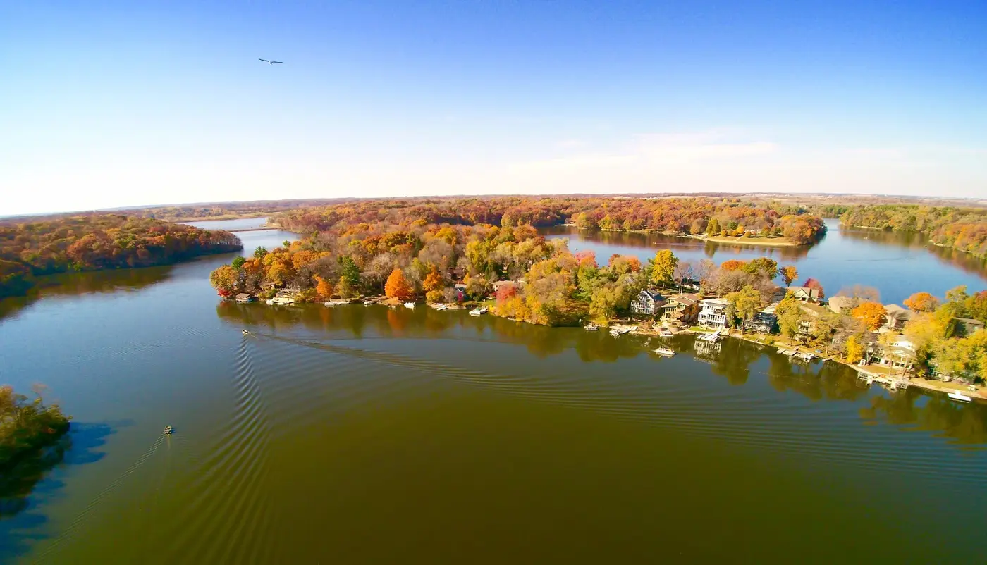
Traditional landscape planning relies on ground-level measurements, visual estimation, and, at best, a property's plat map for boundary reference. That approach works for small, simple projects, but it leaves real gaps for larger properties, sloped terrain, or projects where drainage and grading are central concerns. Drone survey technology closes those gaps by capturing a complete, accurate aerial view of your entire property — topography, drainage patterns, tree canopy, existing structures, and boundary context — in a way that ground-based measurement simply cannot replicate as efficiently or precisely.
Landforms Design Inc uses drone survey technology as part of our site analysis process for larger residential and commercial landscape projects throughout Cedar Rapids and Eastern Iowa. It's a natural extension of the same design philosophy behind our Uvision 3D Landscape Creator software: the more accurate the information we start with, the better the design and the fewer surprises during construction.
How We Use Drone Survey Technology
For qualifying projects — typically larger properties, those with significant grade change, or projects where drainage engineering is a central concern — we deploy drone aerial capture to gather data that feeds directly into our design process. This includes:
- Topographic mapping — capturing precise elevation data across the entire property, revealing subtle grade changes, high points, and low points that are difficult to perceive accurately just by walking the site
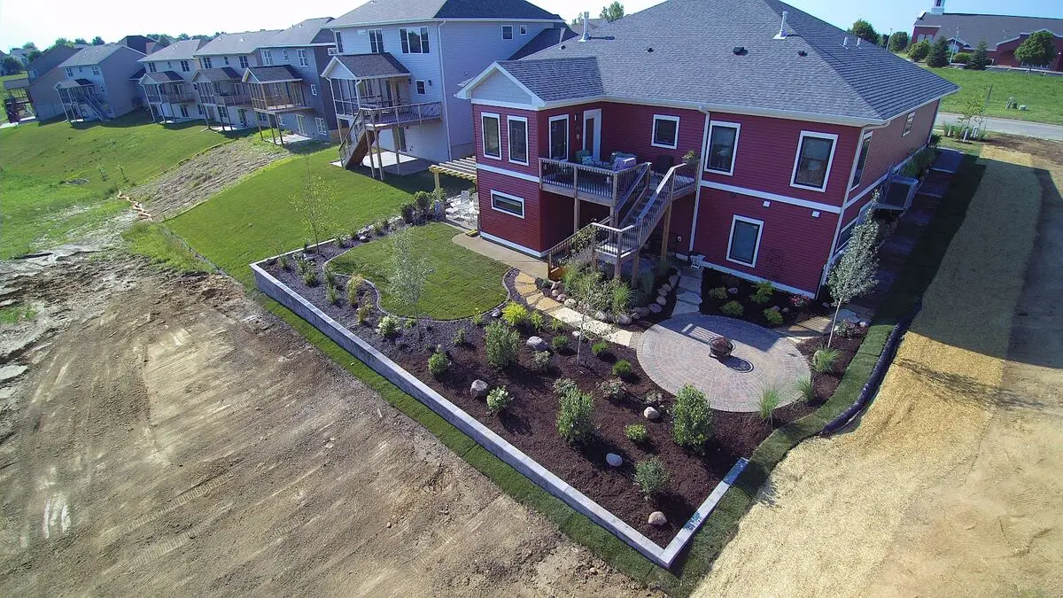
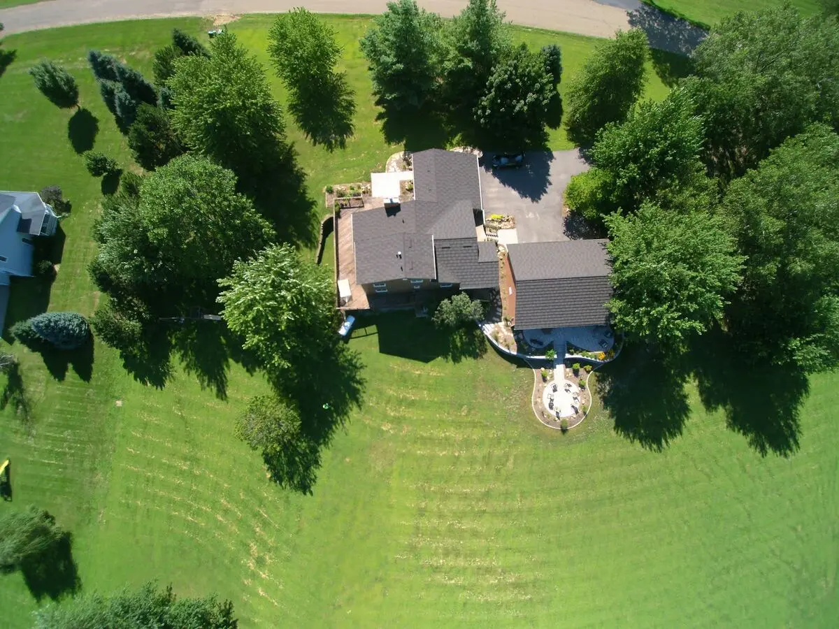
- Orthomosaic imagery — high-resolution, geometrically corrected aerial photographs stitched together into a single accurate image of the property, useful for overall site planning and client presentations
- Drainage flow analysis — using elevation data to model how water actually moves across a property during rain events, identifying problem areas before they become a homeowner's complaint
- Tree canopy and vegetation assessment — mapping existing tree locations, approximate canopy spread, and shade patterns that affect where sun-loving versus shade-tolerant plantings will succeed
- Site documentation — a comprehensive visual record of existing conditions before construction begins, useful for planning phased projects and for reference throughout the build
This data is particularly valuable when integrated into our 3D design process, since accurate topographic and boundary information means the 3D model we build and present to you reflects your property's true dimensions and grade, not estimated or simplified measurements.
The Homeowner Process
For projects where drone survey is recommended, we schedule a flight during favorable weather and lighting conditions — generally calm wind and consistent daylight for the clearest, most accurate imagery. The flight itself typically takes anywhere from 15 minutes to an hour depending on property size and the level of detail required. We then process the captured data into usable topographic maps and imagery, which becomes part of your project's design foundation. This process typically adds a short amount of time to the front end of a project's design phase but pays for itself many times over in design accuracy and avoiding costly surprises during construction, particularly for grading, drainage, and retaining wall projects where precise elevation data genuinely matters.
Why This Technology Matters for Eastern Iowa Properties
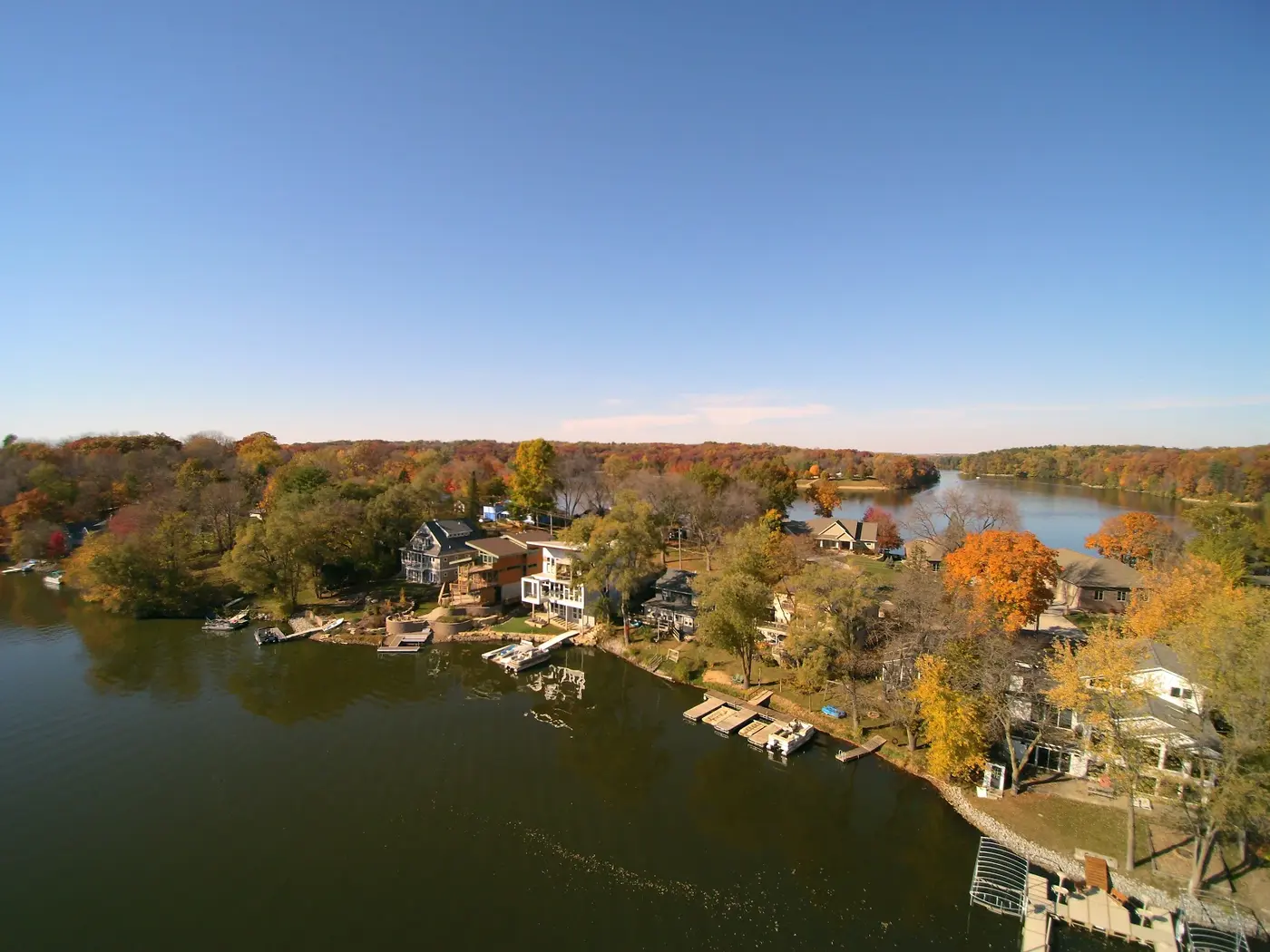
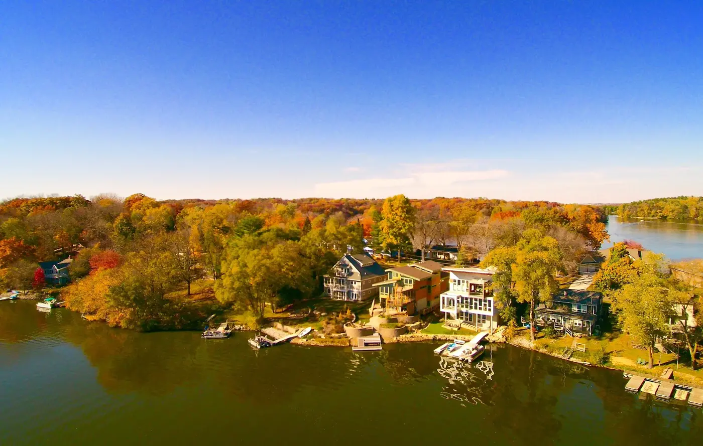
Cedar Rapids and the surrounding Eastern Iowa region feature a mix of flat and significantly rolling terrain, particularly in neighborhoods built along the bluffs and ravines near the Cedar River and Indian Creek. Properties in these areas often have grade changes and drainage patterns that are much more complex than they initially appear from ground level. A homeowner might notice that one corner of their yard stays wet, without realizing that the actual cause is a subtle grade issue affecting a much larger area of the property, or even involving how water moves across a neighboring lot. Drone-captured topographic data reveals these patterns clearly and objectively, which is especially valuable for grading and drainage projects, large-scale retaining wall systems, and any project where getting the site analysis wrong leads to expensive rework.
Iowa's flat-to-rolling agricultural and residential landscape also means that many Cedar Rapids properties, especially newer developments, were graded during construction with production-home efficiency in mind rather than optimal long-term drainage. Drone survey helps us identify where that original grading has created problems that only become apparent years later as soil settles and water patterns shift.
Materials and Technology
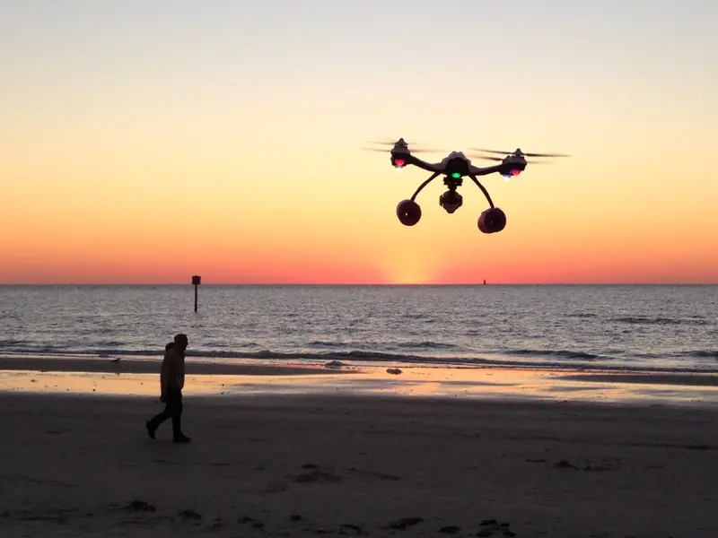
We use commercial-grade drone equipment capable of capturing high-resolution imagery and generating accurate elevation models through photogrammetry — a process that combines dozens or hundreds of overlapping aerial photographs, captured from multiple angles, into a precise three-dimensional representation of the property's surface. This data integrates directly with our Uvision 3D Landscape Creator software, allowing us to build design models on a foundation of real, measured site data rather than approximate manual measurements. For projects requiring engineering-level precision, such as complex drainage systems or tall retaining walls, this level of accuracy is a meaningful advantage over traditional site assessment methods.
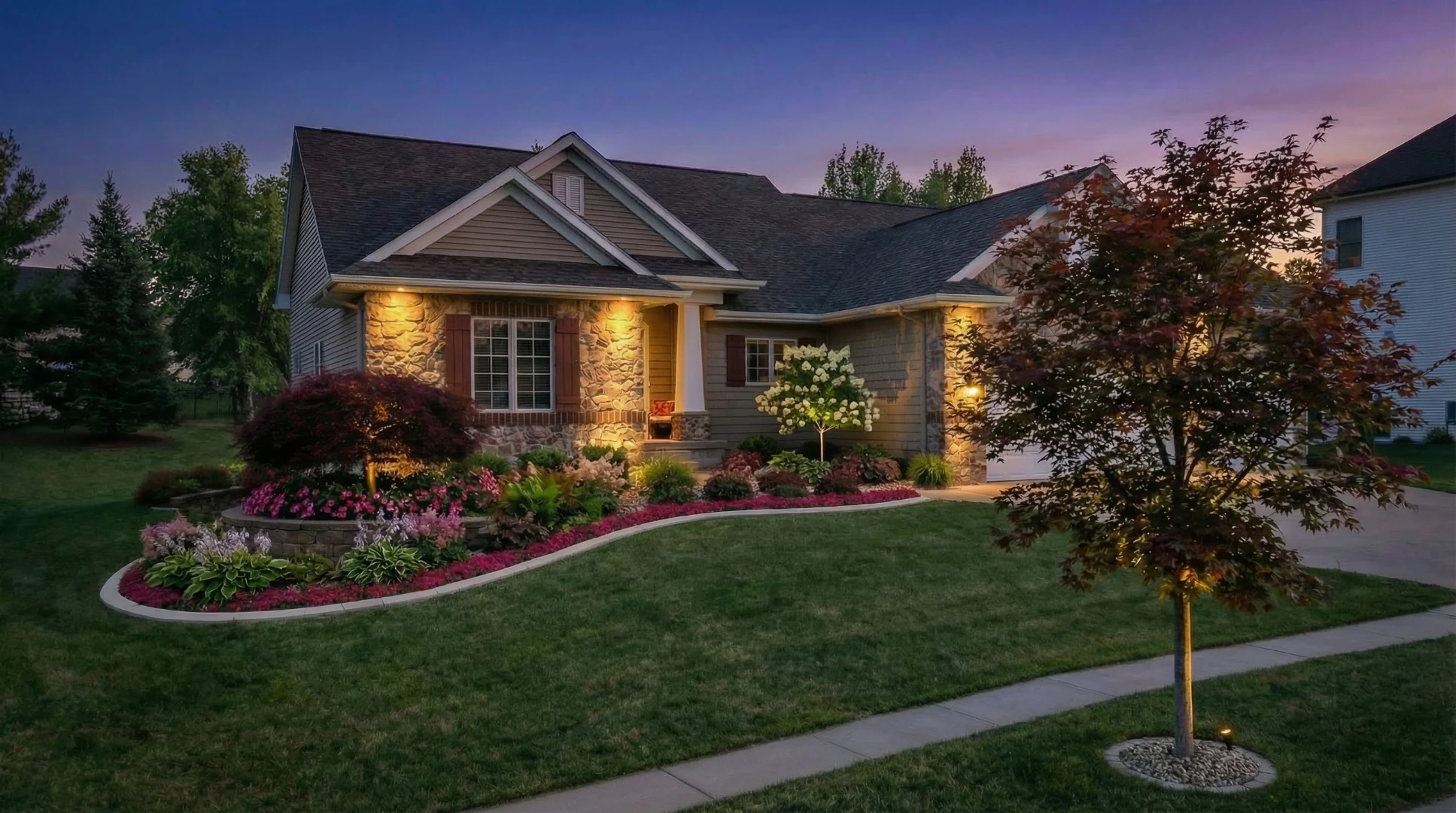
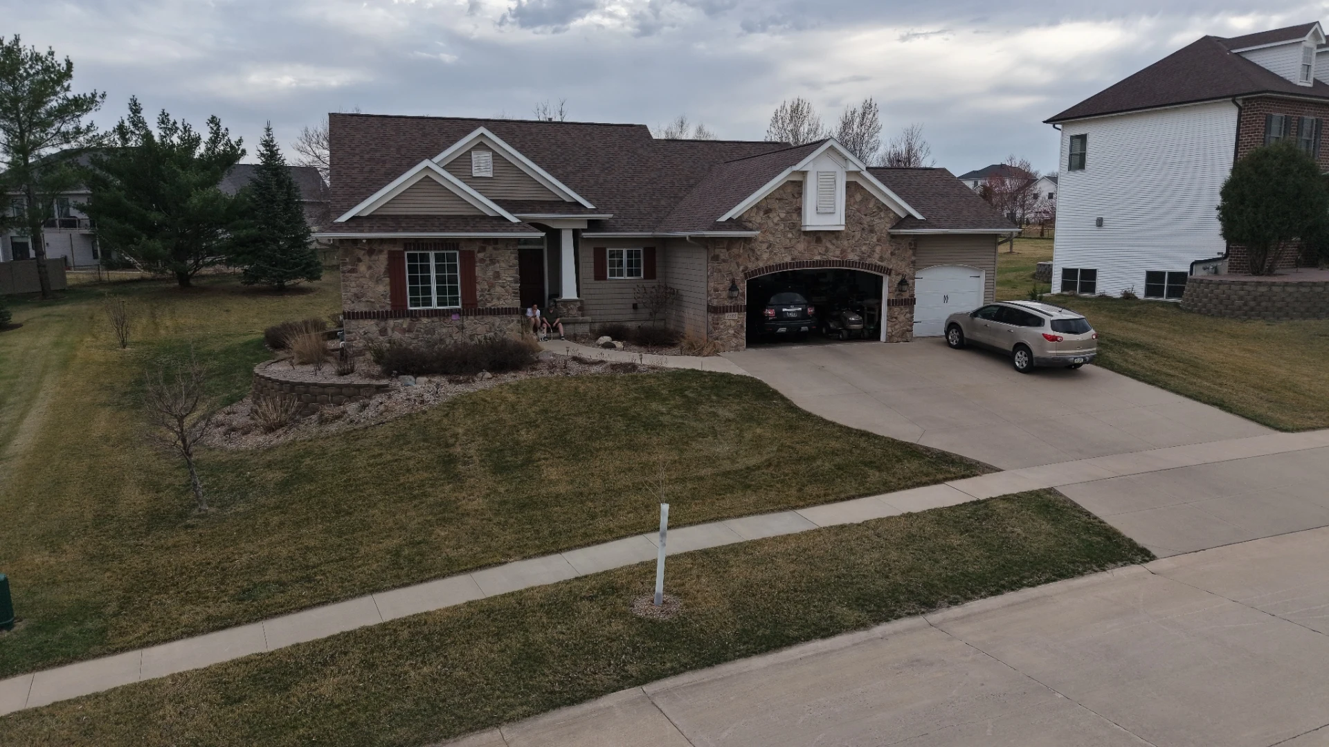
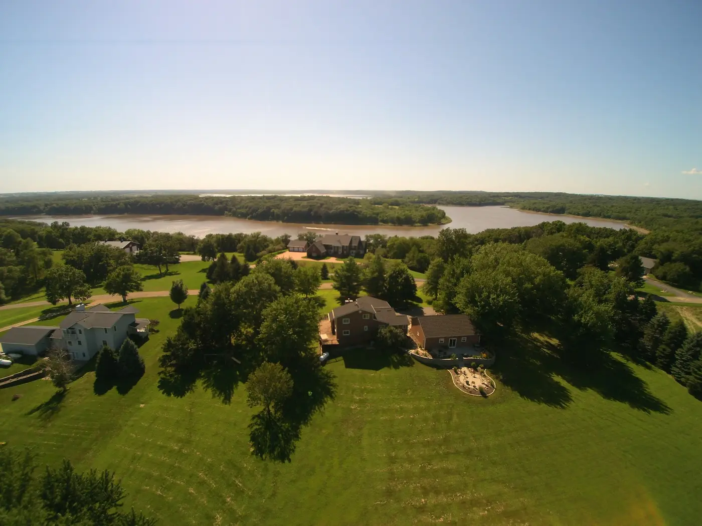
See It Before We Build It — Drone Survey to Finished Design
What to Expect from Professional Drone Survey vs. Basic Site Visits
A standard site visit and walk-through, which we conduct for every project regardless of size, gives us a strong working understanding of a property's conditions, especially for straightforward projects like a single patio or garden bed. Drone survey adds real value on top of that for larger, more complex, or drainage-sensitive projects, where the difference between an estimated slope and a precisely measured one can mean the difference between a drainage solution that works and one that needs to be redone. It's not a service every project requires, and we're upfront about when it adds genuine value versus when a standard site assessment is sufficient — we'd rather recommend the right level of analysis for your specific project than upsell technology you don't need.
Professional Drone Survey vs. DIY Assessment
Consumer drones and smartphone measurement apps have made basic aerial photography accessible to homeowners, but there's a significant gap between casual aerial photos and the surveyed-grade topographic data needed for real engineering decisions. Commercial photogrammetry requires specific flight patterns, overlap percentages between captured images, and processing software calibrated to produce genuinely accurate elevation models — errors in any of these steps can produce a model that looks convincing but contains real inaccuracies that would mislead a grading or drainage design. For homeowners simply curious about their property, a casual drone photo is fine; for design decisions involving real construction investment, professional-grade survey data removes that risk.
Frequently Asked Questions
Do I need a drone survey for a small landscaping project?
Not usually. Drone survey adds the most value for larger properties, significant grade changes, complex drainage projects, or extensive retaining wall systems where precise elevation data materially improves the design and construction outcome. For smaller, straightforward projects like a single garden bed or a modest patio, our standard on-site assessment is typically sufficient, and we'll tell you honestly when that's the case.
How does drone survey data improve my landscape design?
Drone-captured topographic and imagery data gives us precise, measured information about your property's elevation, drainage patterns, and existing features, which feeds directly into our 3D design process. This means the design you review and approve is built on your property's actual dimensions and grade rather than approximate manual measurements, reducing the chance of surprises or design changes once construction begins.
Is drone survey useful for drainage problems specifically?
Yes, this is one of the strongest use cases for the technology. Precise elevation mapping across an entire property reveals drainage patterns and problem areas that are difficult to detect accurately from ground level, especially on properties with subtle or complex grade changes. This is particularly valuable in Cedar Rapids' rolling and bluff-adjacent neighborhoods where drainage issues are often more complicated than they first appear.
How long does a drone survey take?
The flight itself typically takes 15 minutes to an hour depending on property size and required detail level. Processing the captured imagery into usable topographic maps and models takes additional time before it's incorporated into your project's design phase, which we account for in the overall project timeline for qualifying projects.
Are there weather restrictions for drone survey flights?
Yes. We schedule drone flights during calm wind conditions and consistent daylight to ensure the clearest, most accurate imagery and elevation data. Iowa's variable spring and fall weather sometimes requires flexible scheduling to capture data under the right conditions, which we build into the project timeline when drone survey is part of the plan.
Ready to Get Started?
Contact Landforms Design Inc today for a free estimate. We serve Cedar Rapids and all of Eastern Iowa.
Request Your Free Quote